
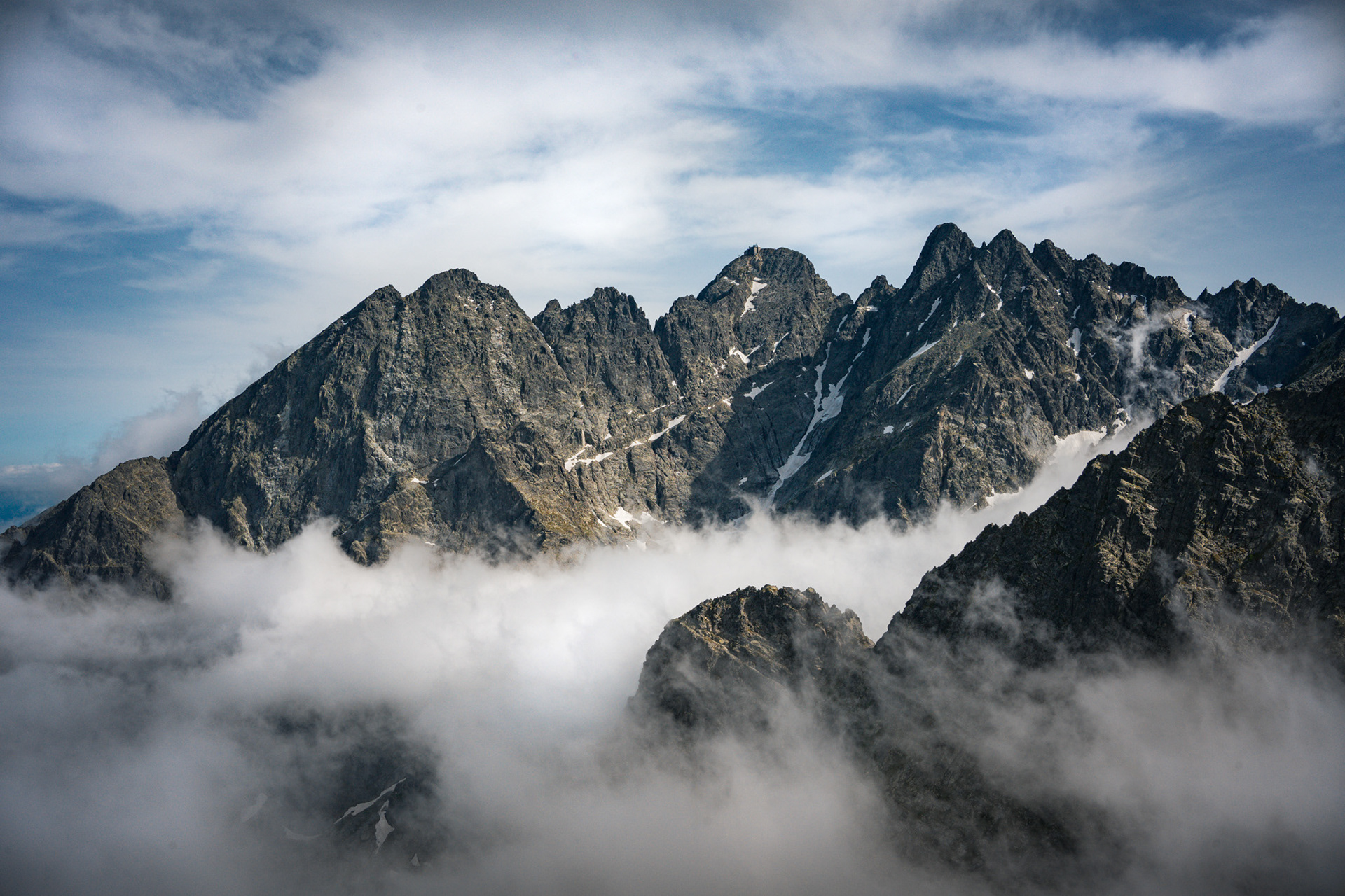
The Tatra Mountains occupy an area of 785 square kilometres (303 sq mi), of which about 610 square kilometres (236 sq mi) (77.7%) lie within Slovakia and about 175 square kilometres (68 sq mi) (22.3%) within Poland. The highest peak, called Gerlachovský stít, at 2,655 m, is located north of Poprad, entirely in Slovakia. The highest point in Poland, Rysy, at 2,500 metres, is located south of Zakopane, on the border with Slovakia.


The first written record of the name is from 999, when the Bohemian Duke Boleslaus II, on his deathbed, recalled when the Duchy of Bohemia extended to the Tritri montes. Another mention is in the 1086 document from Henry IV, wherein he referred to the Diocese of Prague with Tritri mountains. Still another is in 1125, where the Kosmas chronicles (Chronica Boemorum) mention the name Tatri.
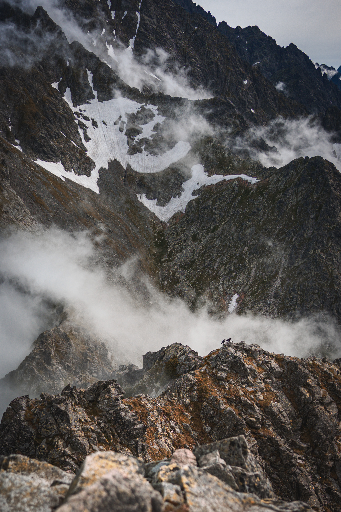
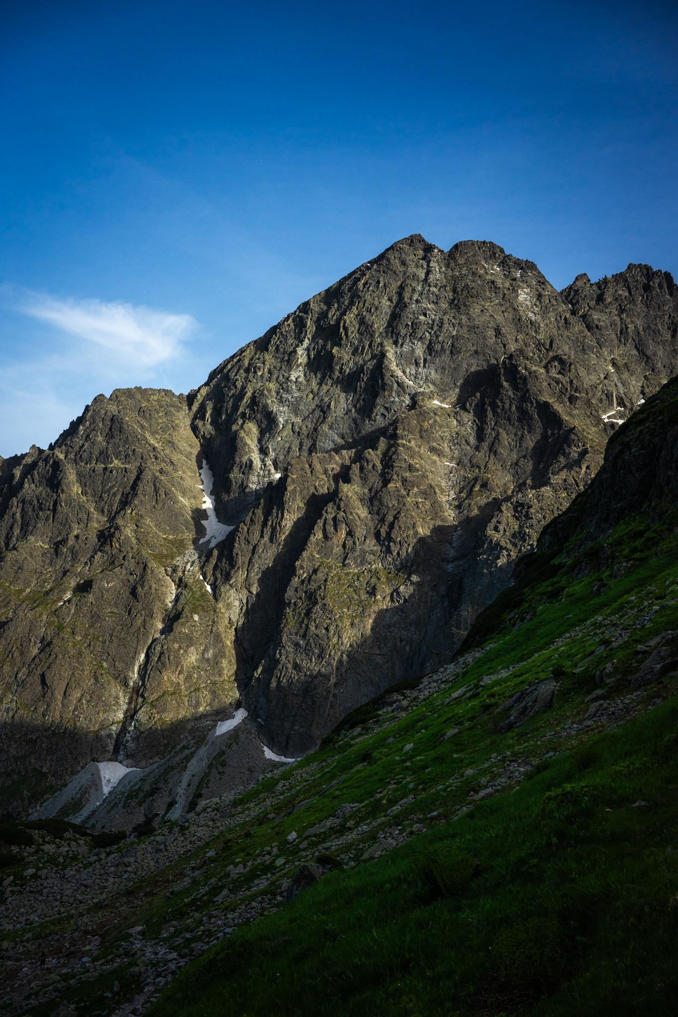
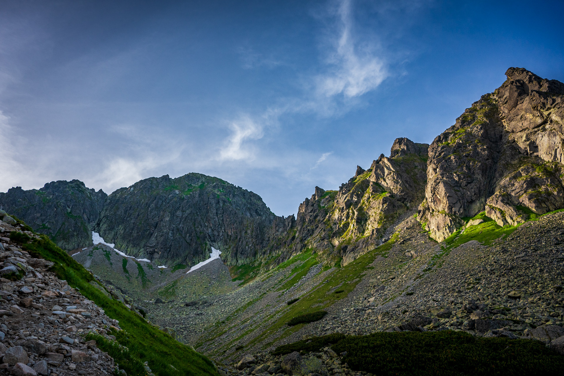
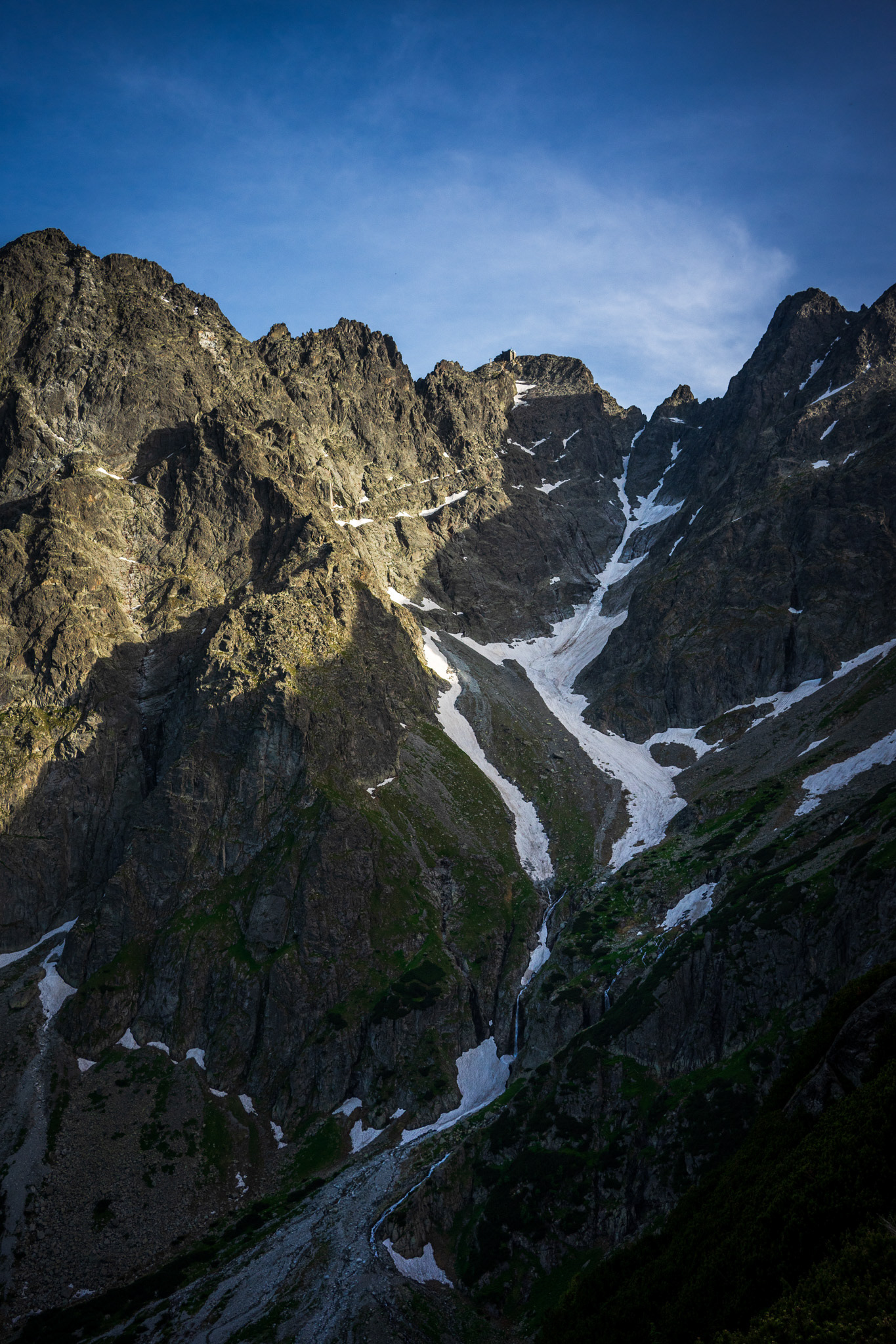
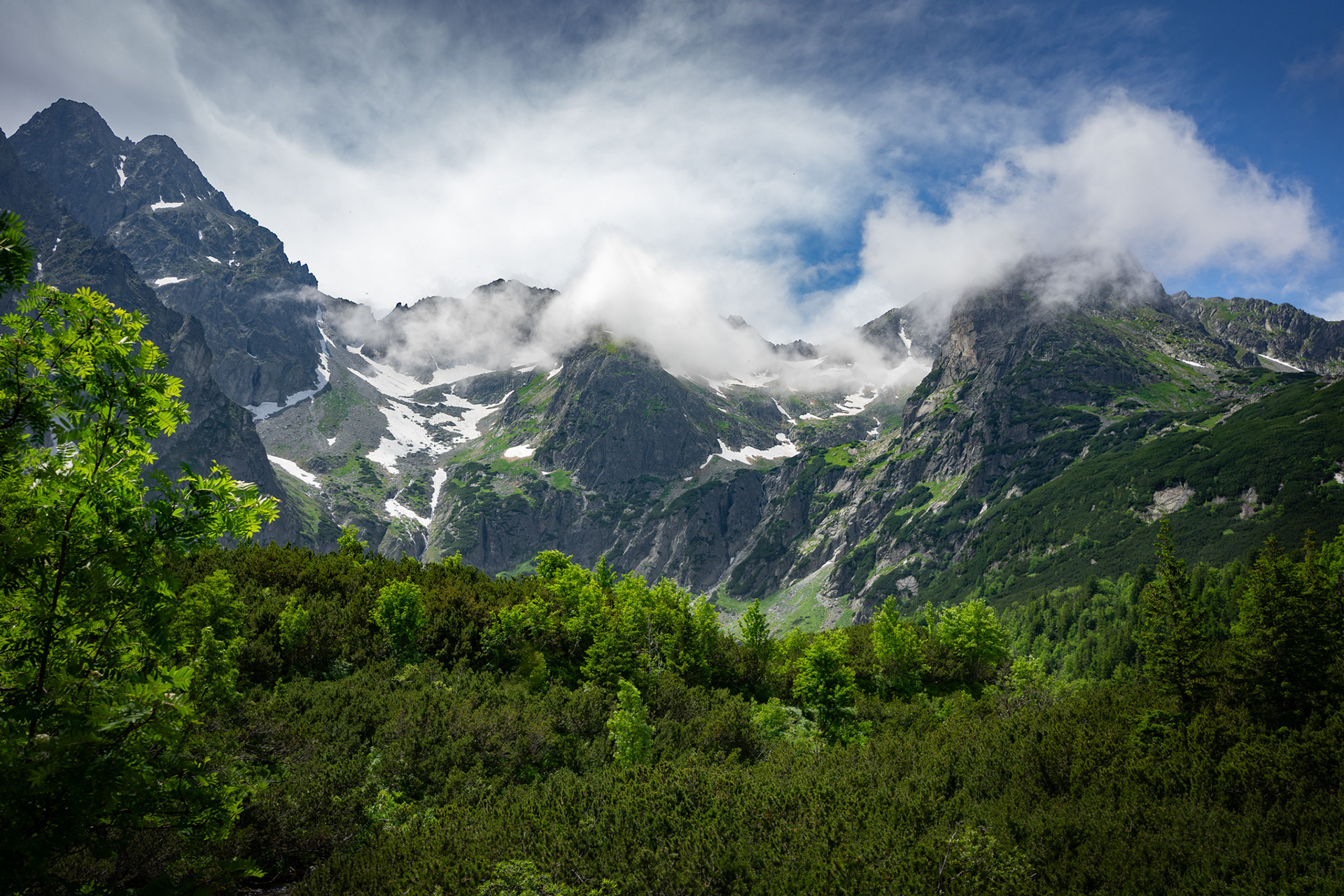
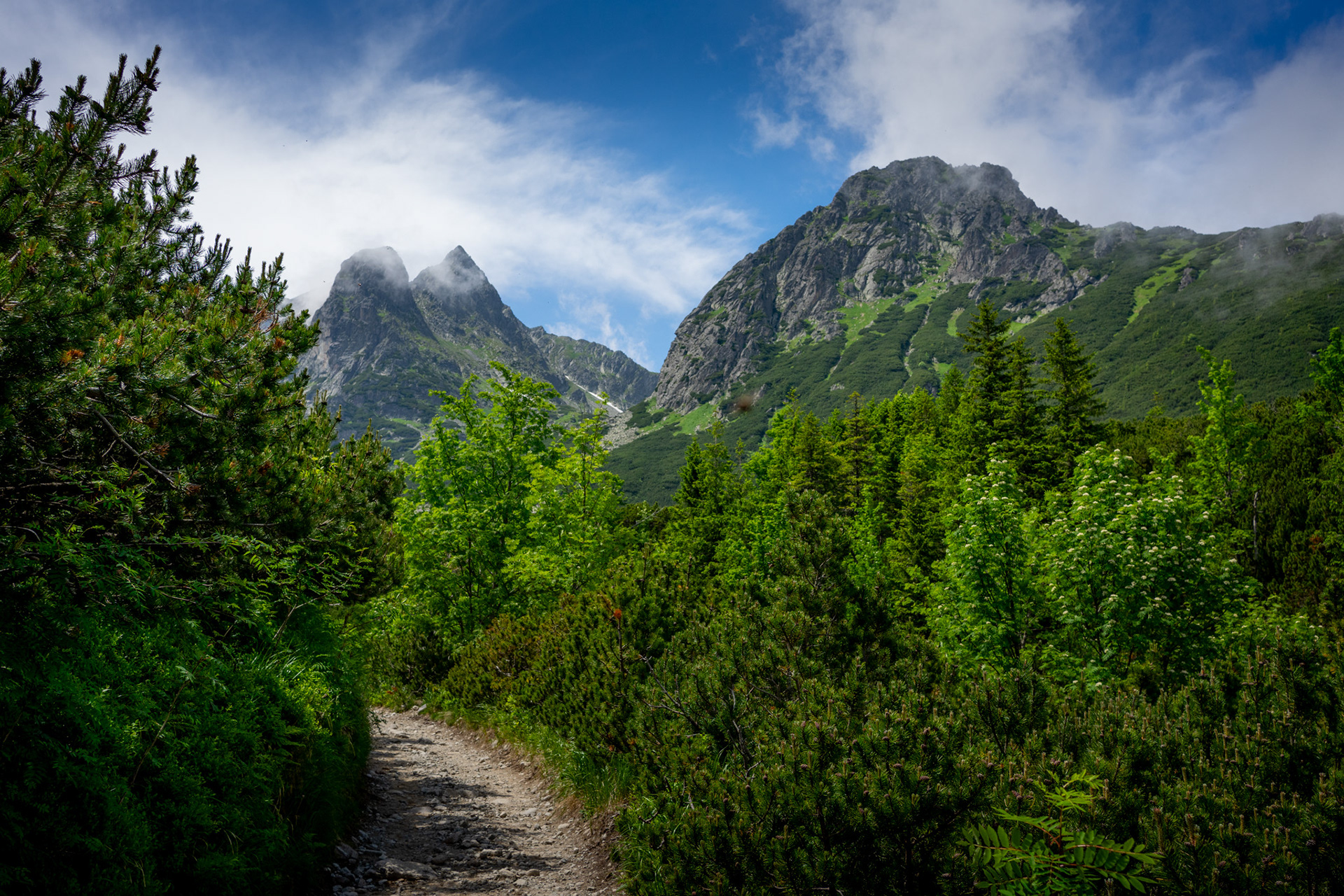
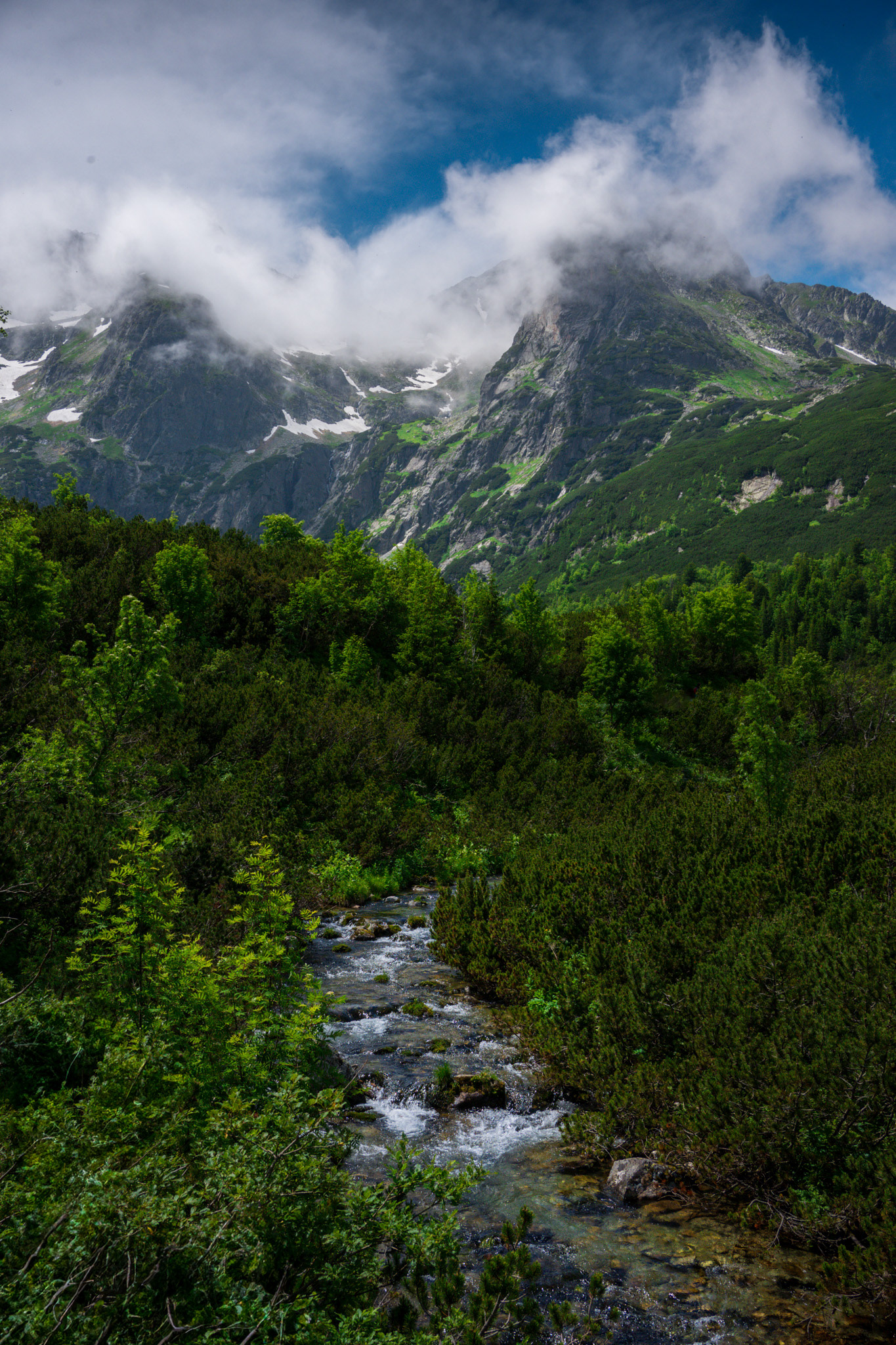
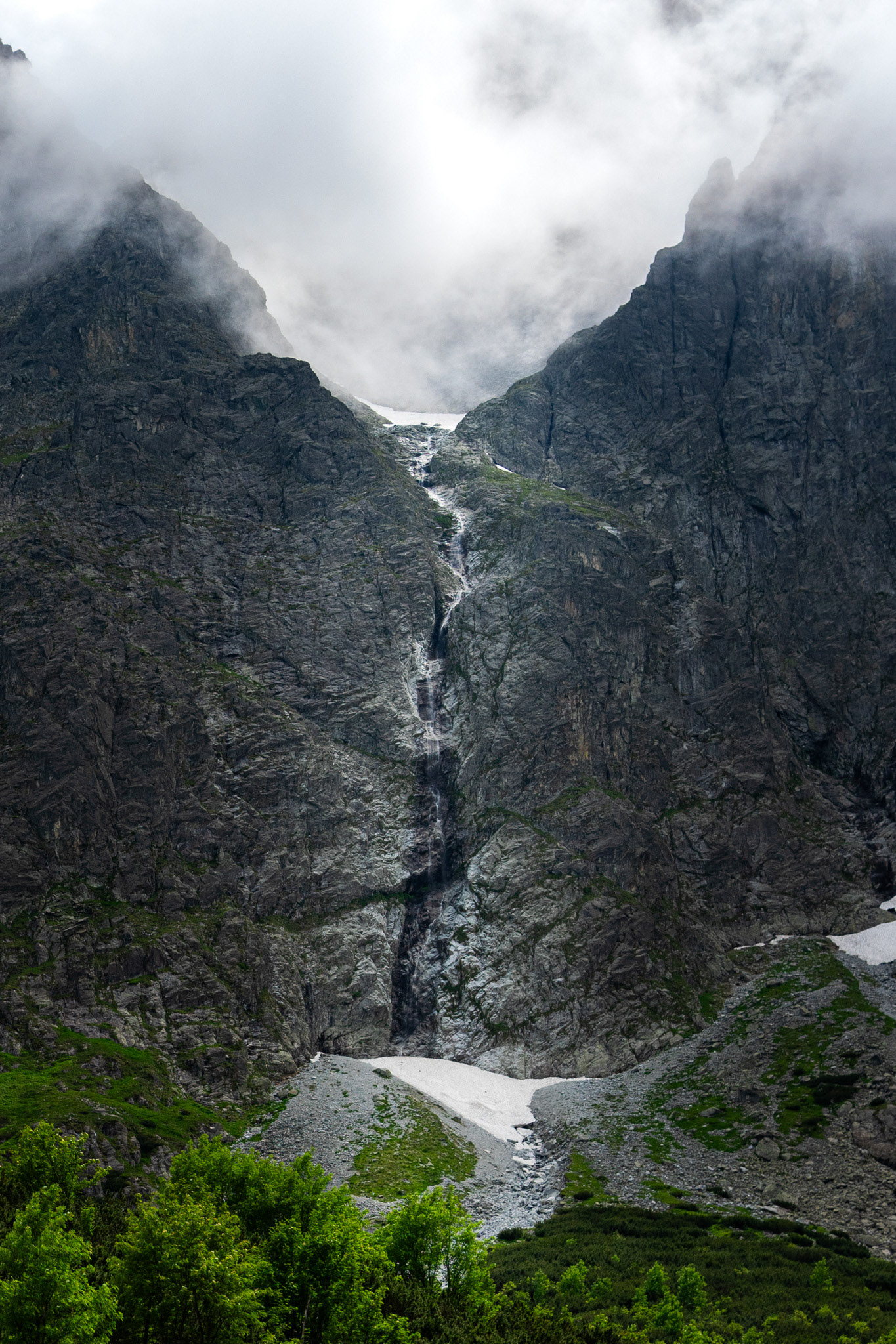
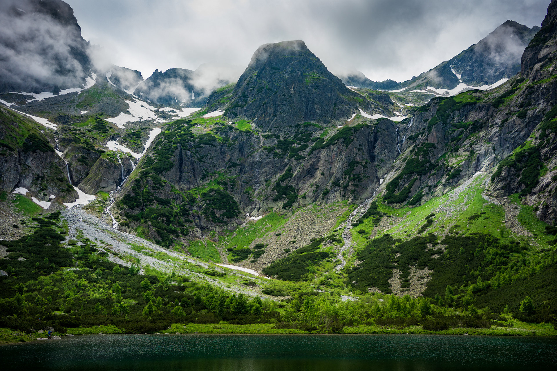
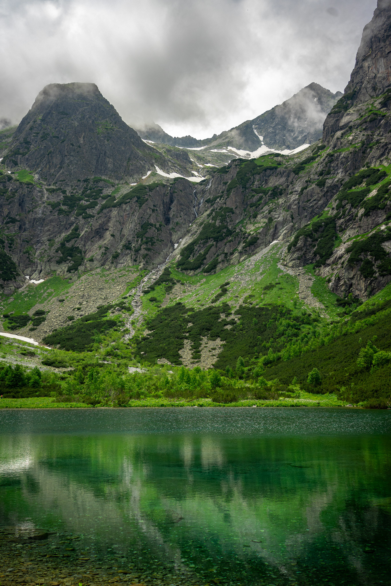
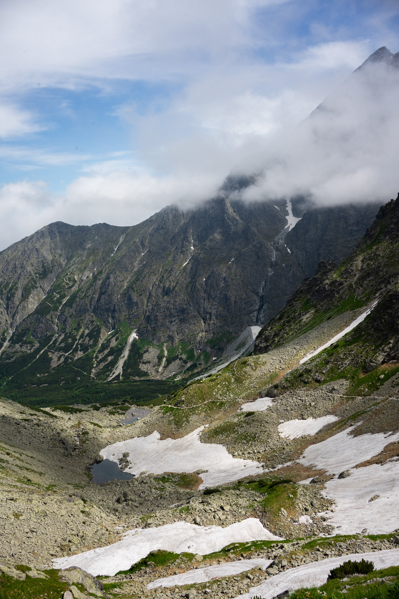
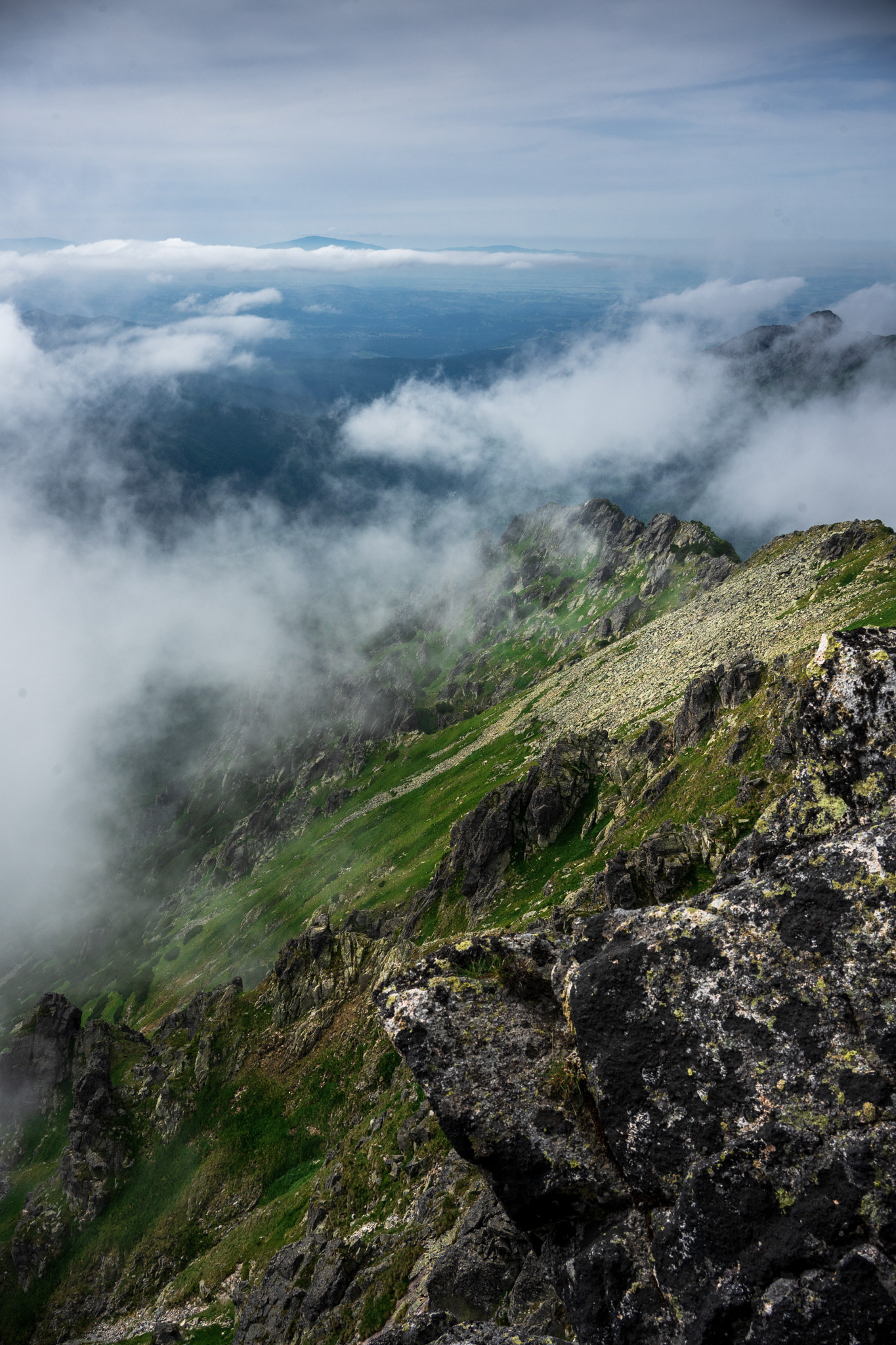
The Tatras are a mountain range of a corrugated nature, originating from the Alpine orogeny, and therefore characterized by a relatively young-looking lie of the land, quite similar to the landscape of the Alps, although significantly smaller. It is the highest mountain range within the Carpathians.

By the end of the First Polish Republic, the border with the Kingdom of Hungary in the Tatras was not exactly defined. The Tatras became an unoccupied borderland. On 20 November 1770, under the guise of protection against the epidemic of plague in the Podolia, an Austrian army entered into Polish land and formed a cordon sanitaire, seizing Sadecczyzna, Spis and Podhale.
Two years later, the First Partition of Poland allocated the lands to Austria. In 1824, Zakopane region and area around Morskie Oko were purchased from the authorities of the Austrian Empire by a Hungarian Emanuel Homolacs. When Austria-Hungary was formed in 1867, the Tatra Mountains have become a natural border between the two states of the dual monarchy, but the border itself still has not been exactly determined.
In 1889, a Polish Count Władysław Zamoyski purchased at auction the Zakopane region along with the area around Morskie Oko. Due to numerous disputes over land ownership in the late 19th century, attempts were made at the delimitation of the border. They were fruitless until 1897, and the case went to an international court which determined on 13 September 1902 the exact course of the Austro-Hungarian border in the disputed area.

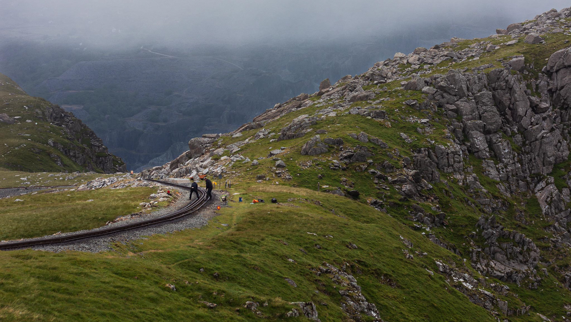
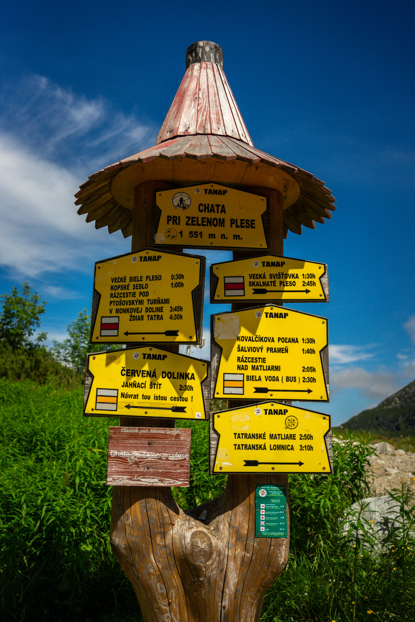
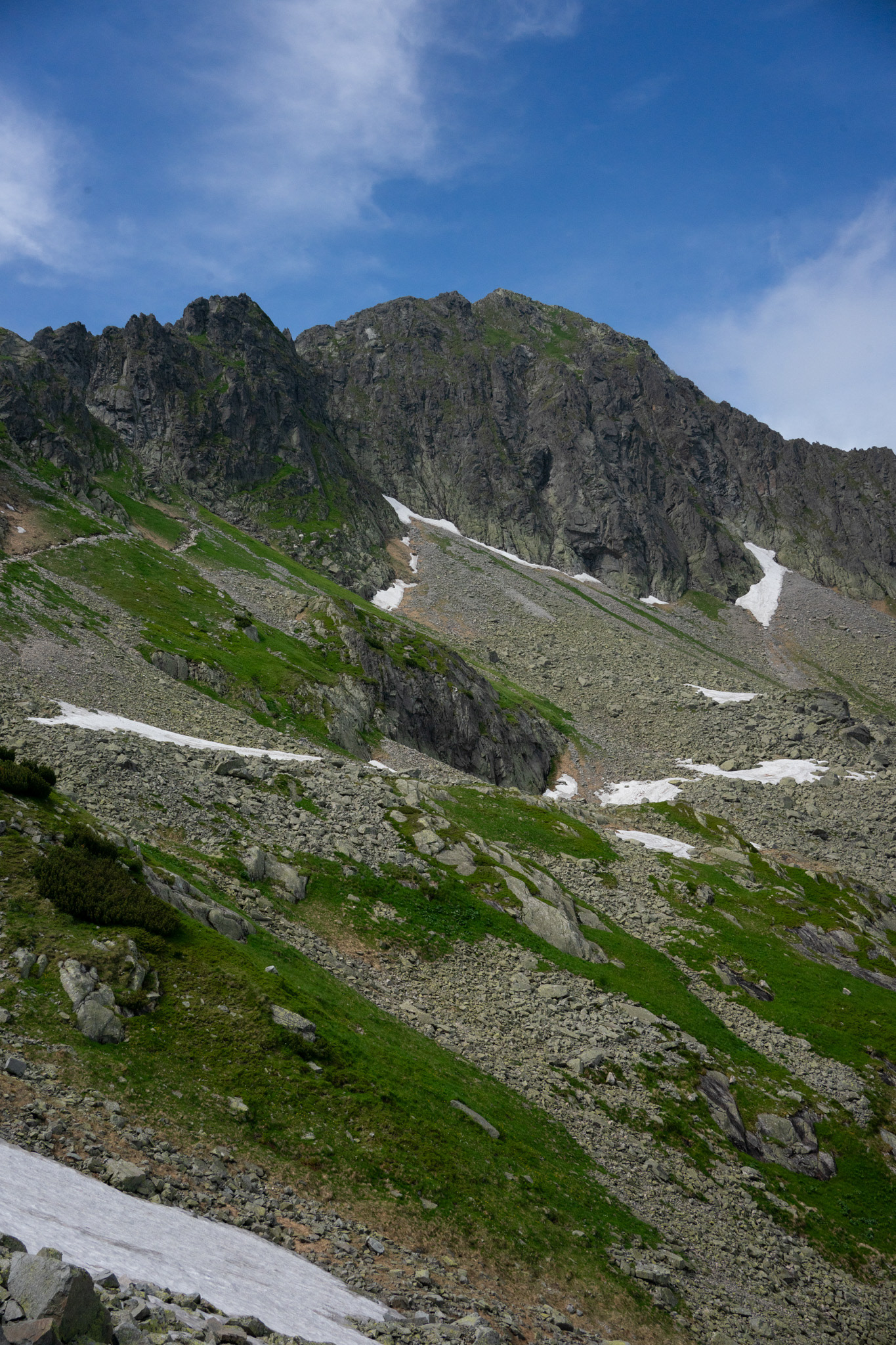
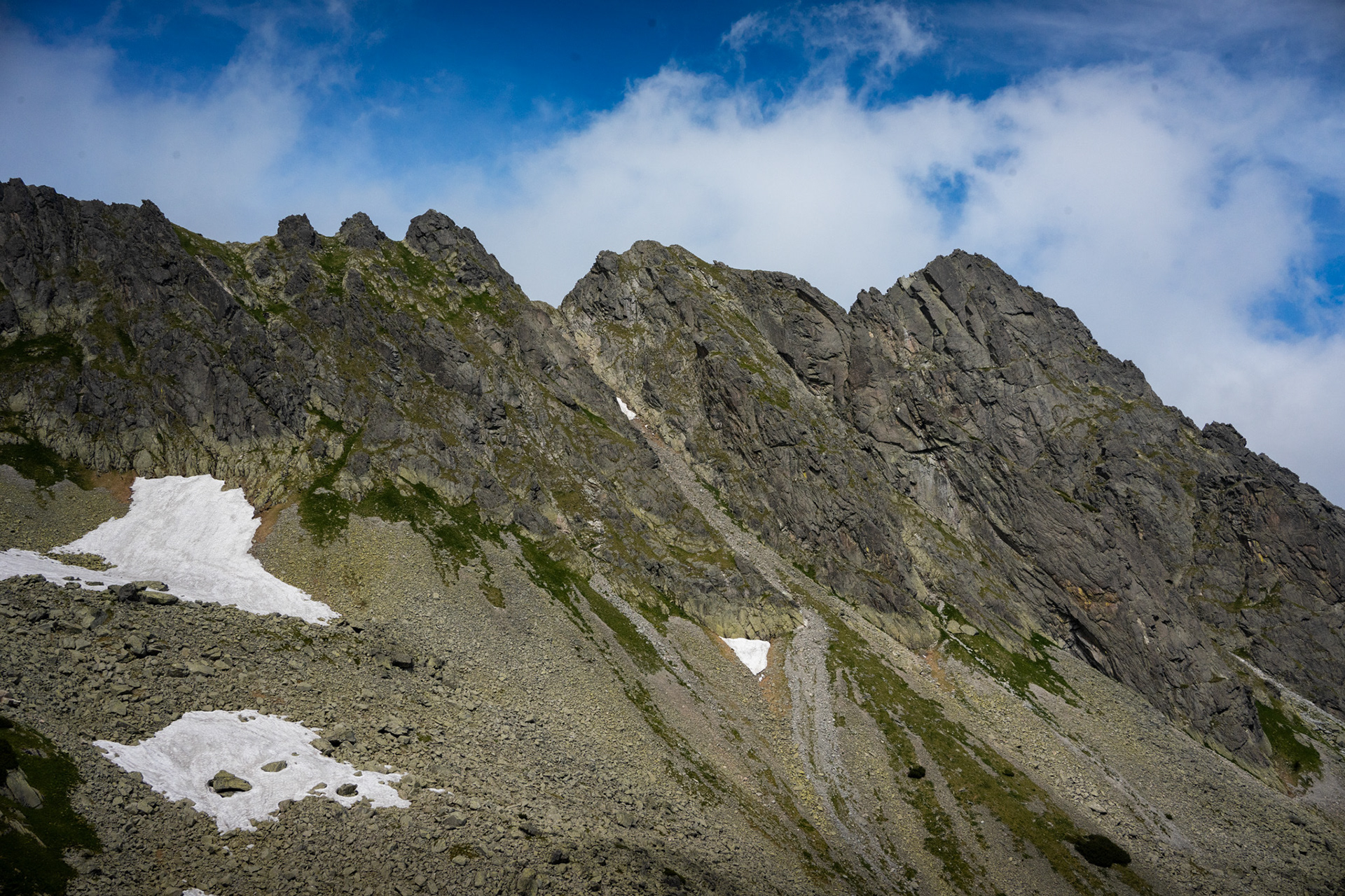
Slavkovský štít is the fourth highest mountain peak that can be reached on a marked trail in the High Tatra mountains in Slovakia. Its summit is 2452 metres above sea level. It can be reached by foot on a walking trail in about four and a half hours from Starý Smokovec.
The first recorded ascent was by Juraj Buchholtz in 1664 and it took the group of 12 members 2 days, while only 4 of them reached the summit. In 19th century it was considered to build Observatory and Meteorological Station on the summit together with a lift going up from Starý Smokovec. The project turned out to be technically unrealistic.