Snowdonia or Eyrir, is a mountainous region in northwestern Wales and a national park of 823 square miles in area.
It was the first to be designated of the three national parks in Wales, in 1951.
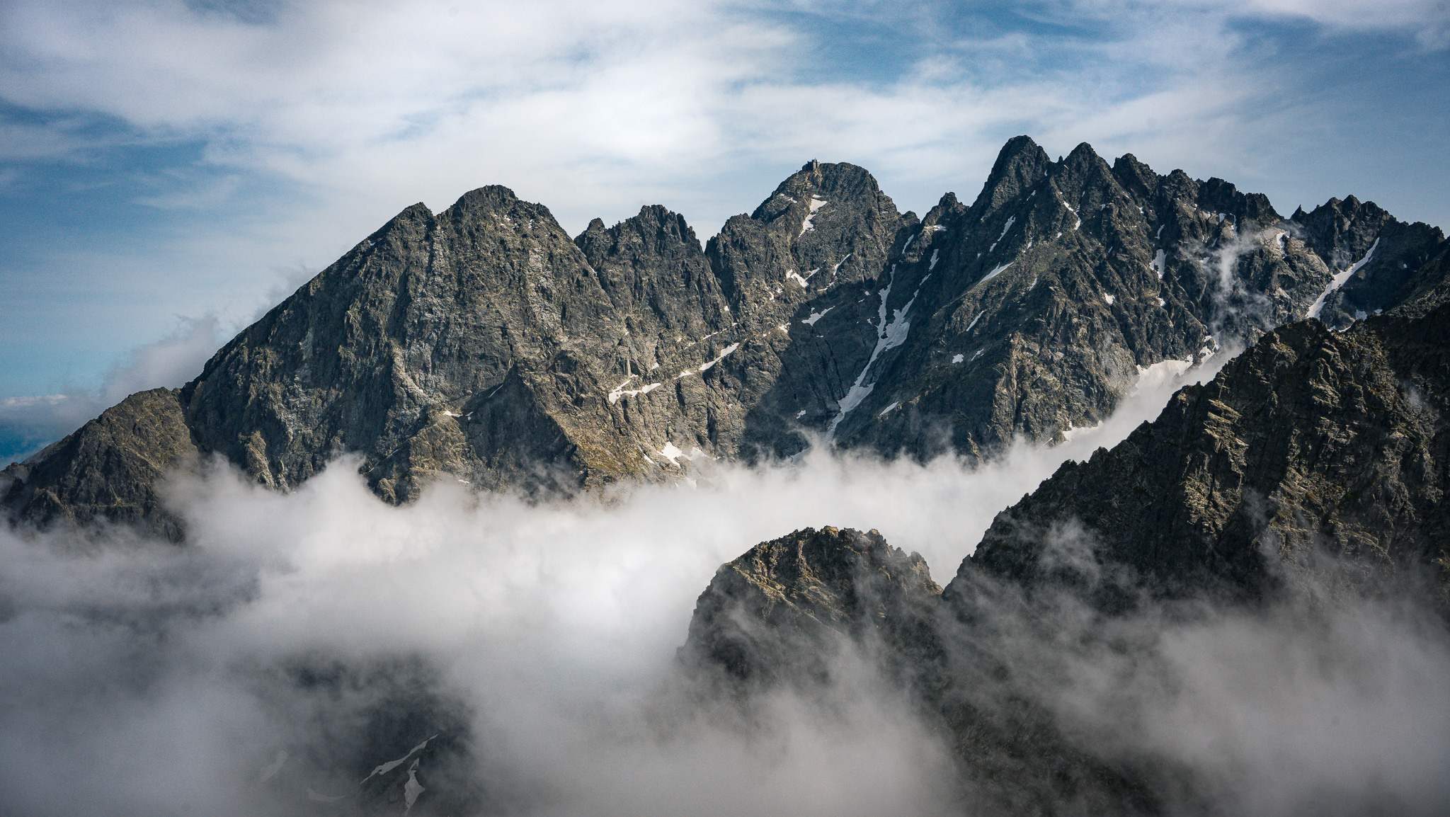
Snowdon
Moel-Y-Gest Summit
The name Snowdonia derives from Snowdon, the highest mountain in the area and in Wales at 3,560 ft (1,090 m).
Before the boundaries of the national park were designated, Snowdonia was generally used to refer to a smaller area, namely the upland area of northern Gwynedd centred on the Snowdon massif, whereas the national park covers an area more than twice that size, extending far to the south into Meirionnydd.
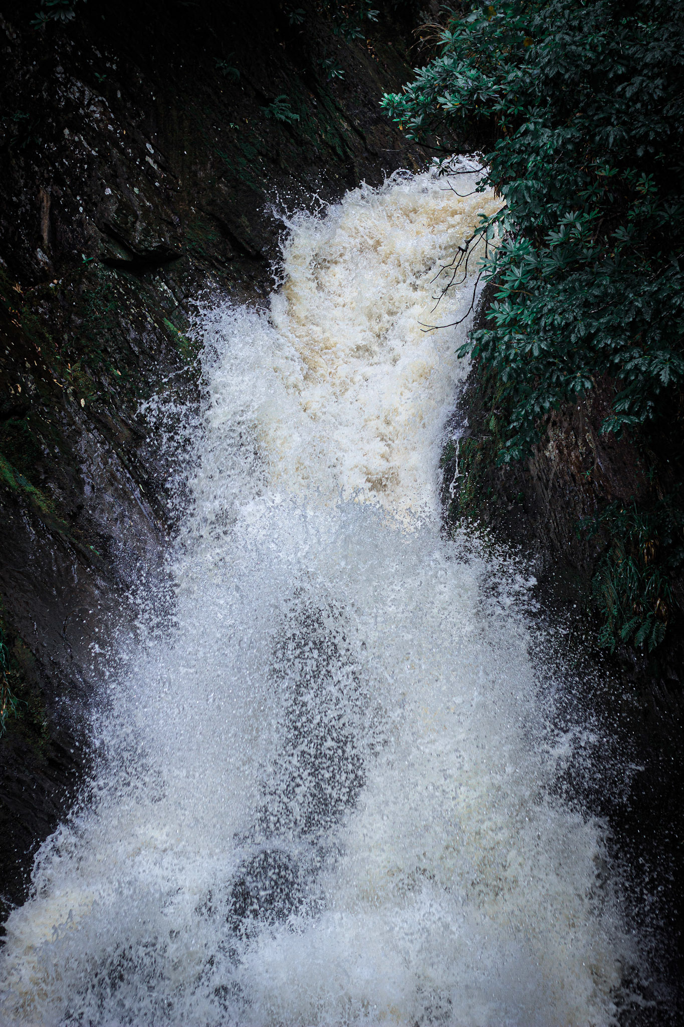
Dol Goch Waterfall
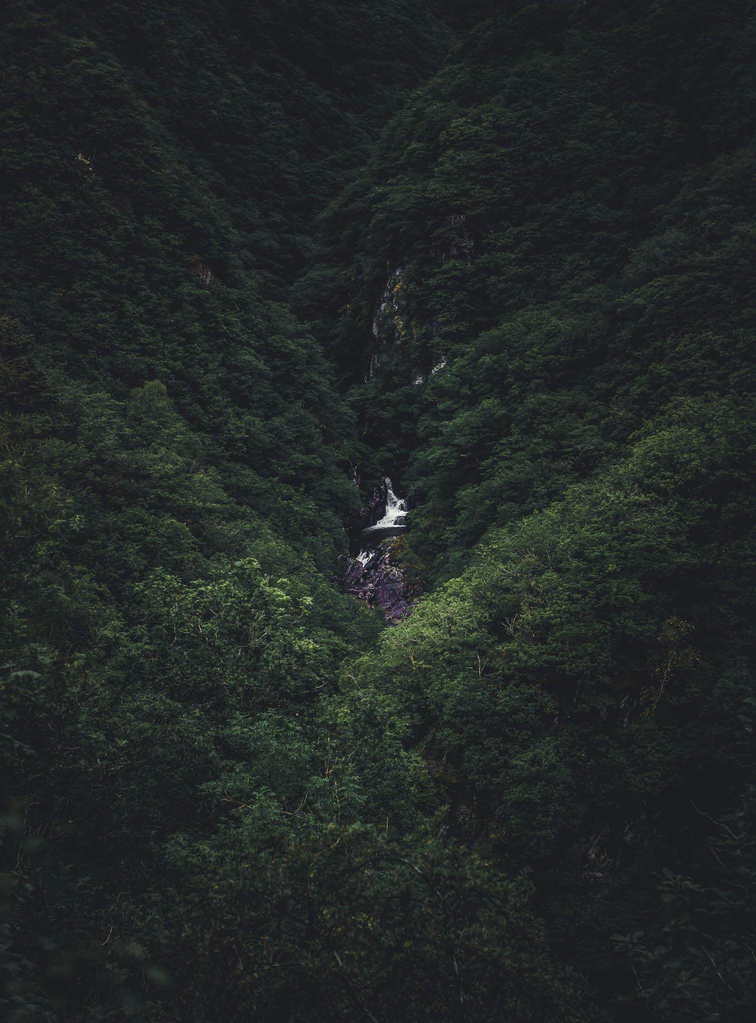
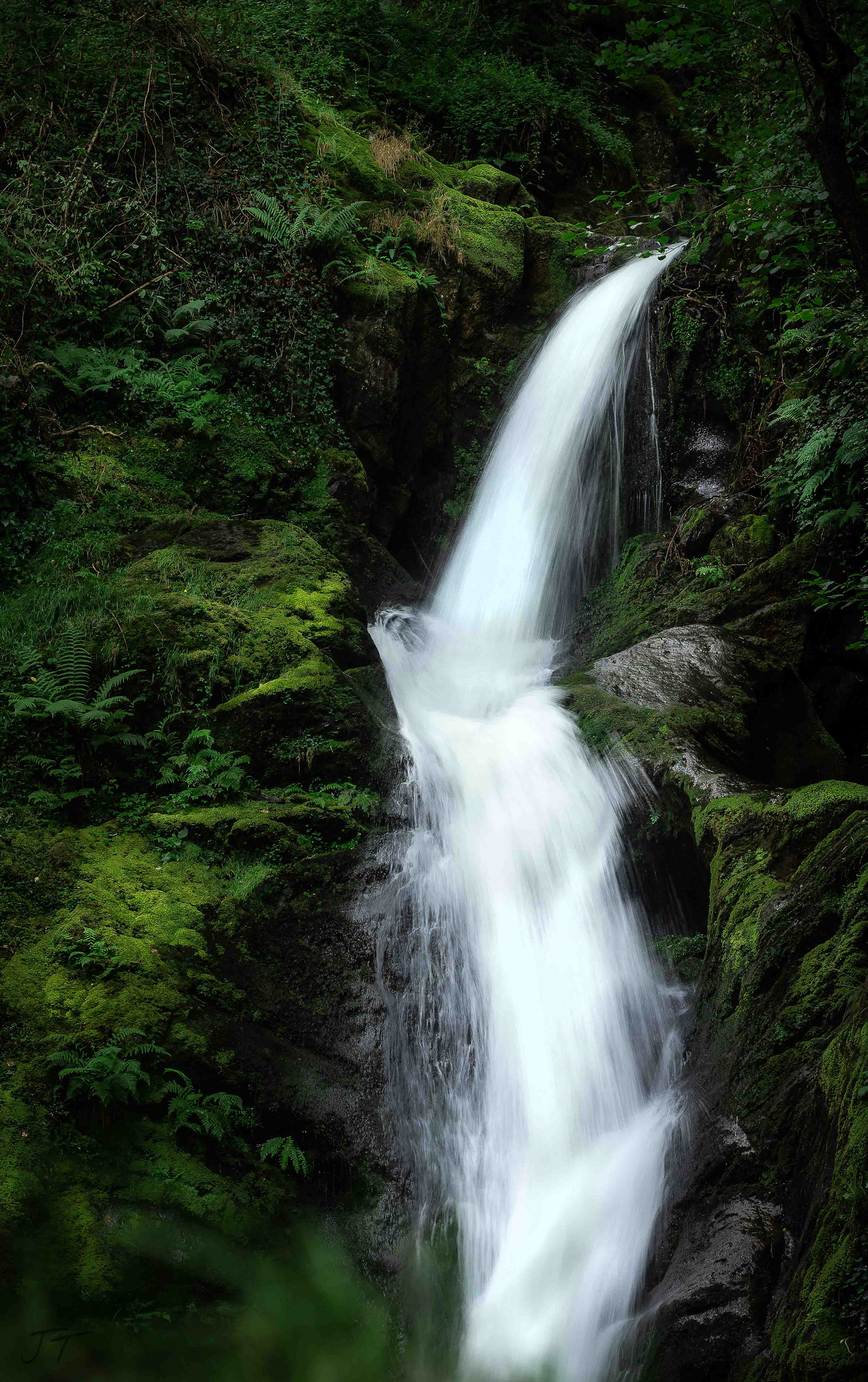
Mynoch Waterfall
Mynoch Waterfall
Mynach Falls (welsh: Rhaeadr Mynach) is a waterfall near Aberystwyth in the county of Ceredigion, wales.
It occurs where the river Mynach drops 90 metres in 5 steps down a steep and narrow ravine before it meets the river Rheidol. The area is famous for the devil's bridge, a series of three arch bridges that span the river, one above the other.
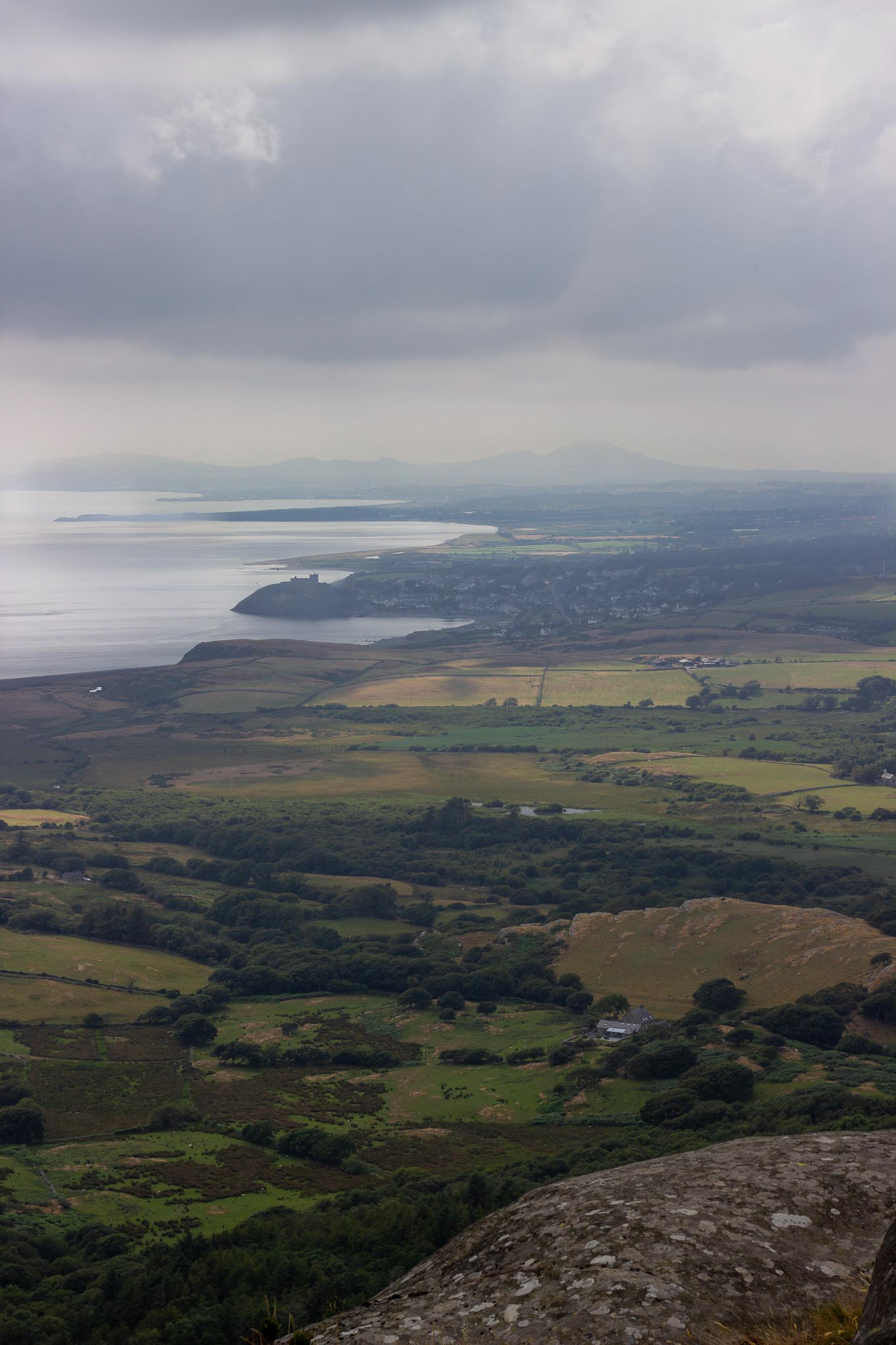
Moel-Y-Gest
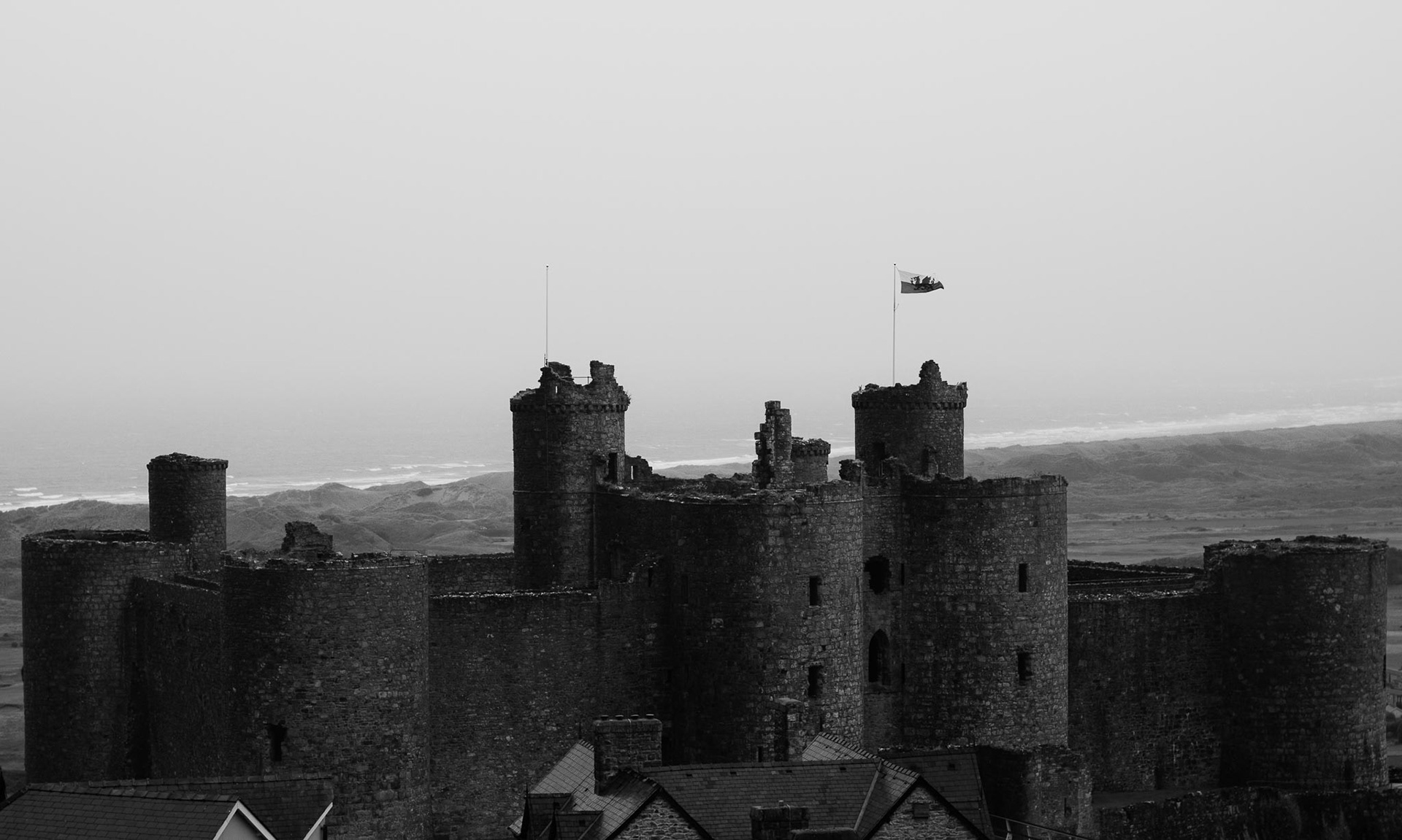
Harlech Castle
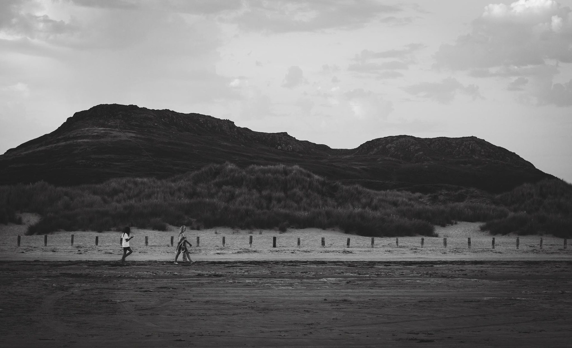
Black Sands
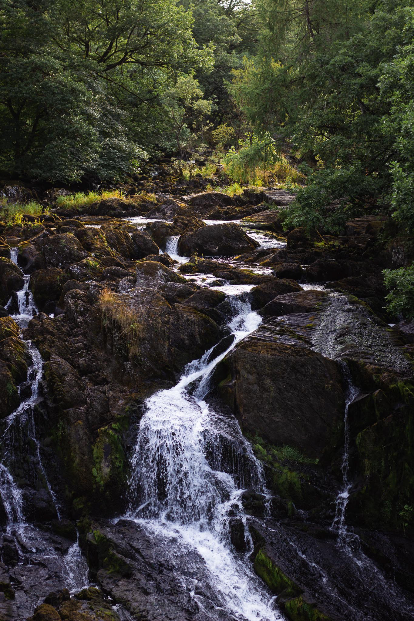
Swallow Falls
There are numerous memorial stones of early Christian affinity dating from the post-Roman period.
The post-Roman hillfort of dinas Emrys also dates to this time. Churches were introduced to the region in the 5th and 6th centuries.
Llewelyn the great and Llewelyn ap gruffud had various stone castles constructed to protect their borders and trade routes. Edward I built several castles around the margins including those at Harlech and Conwy for military and administrative reasons.
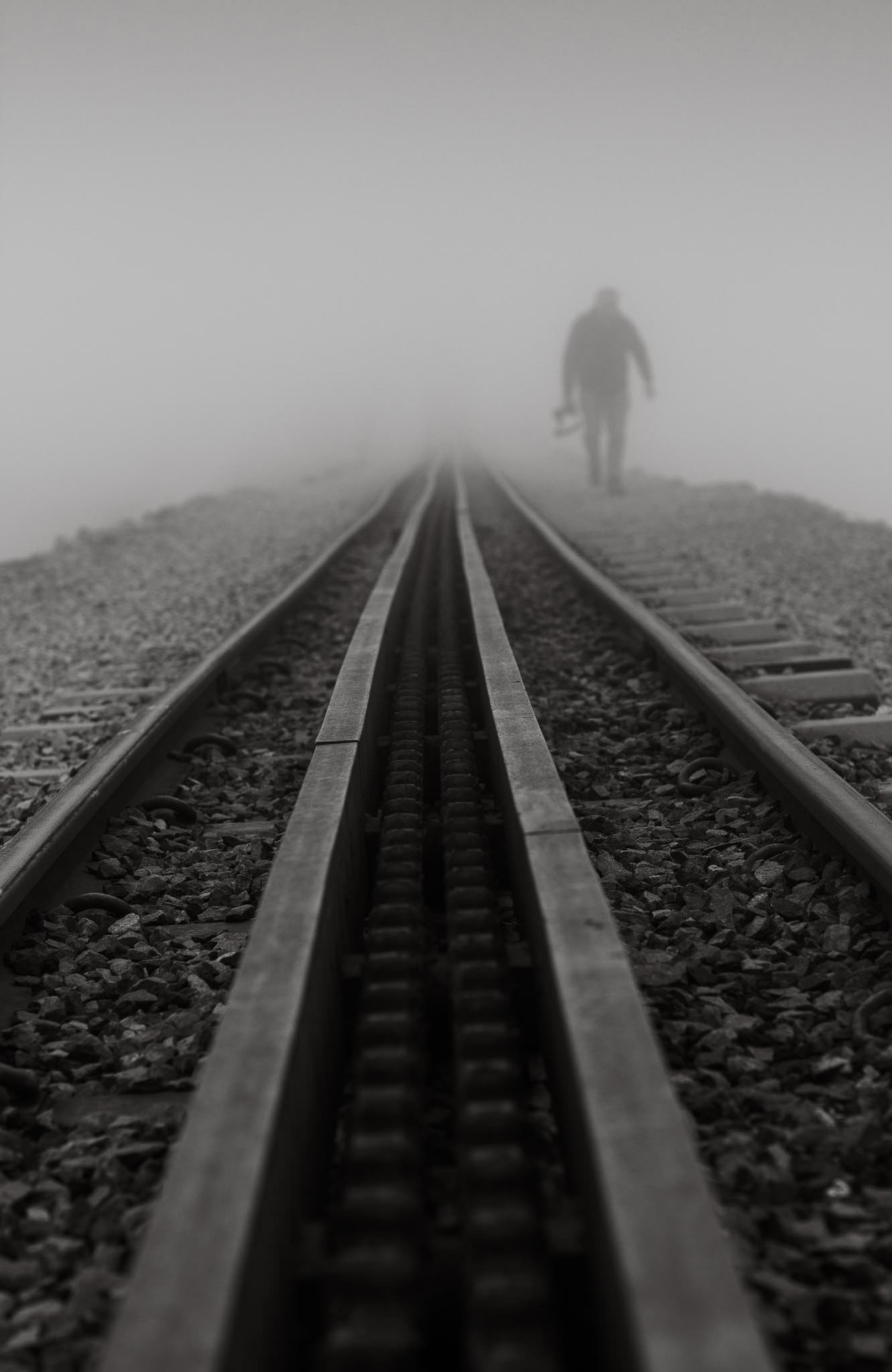
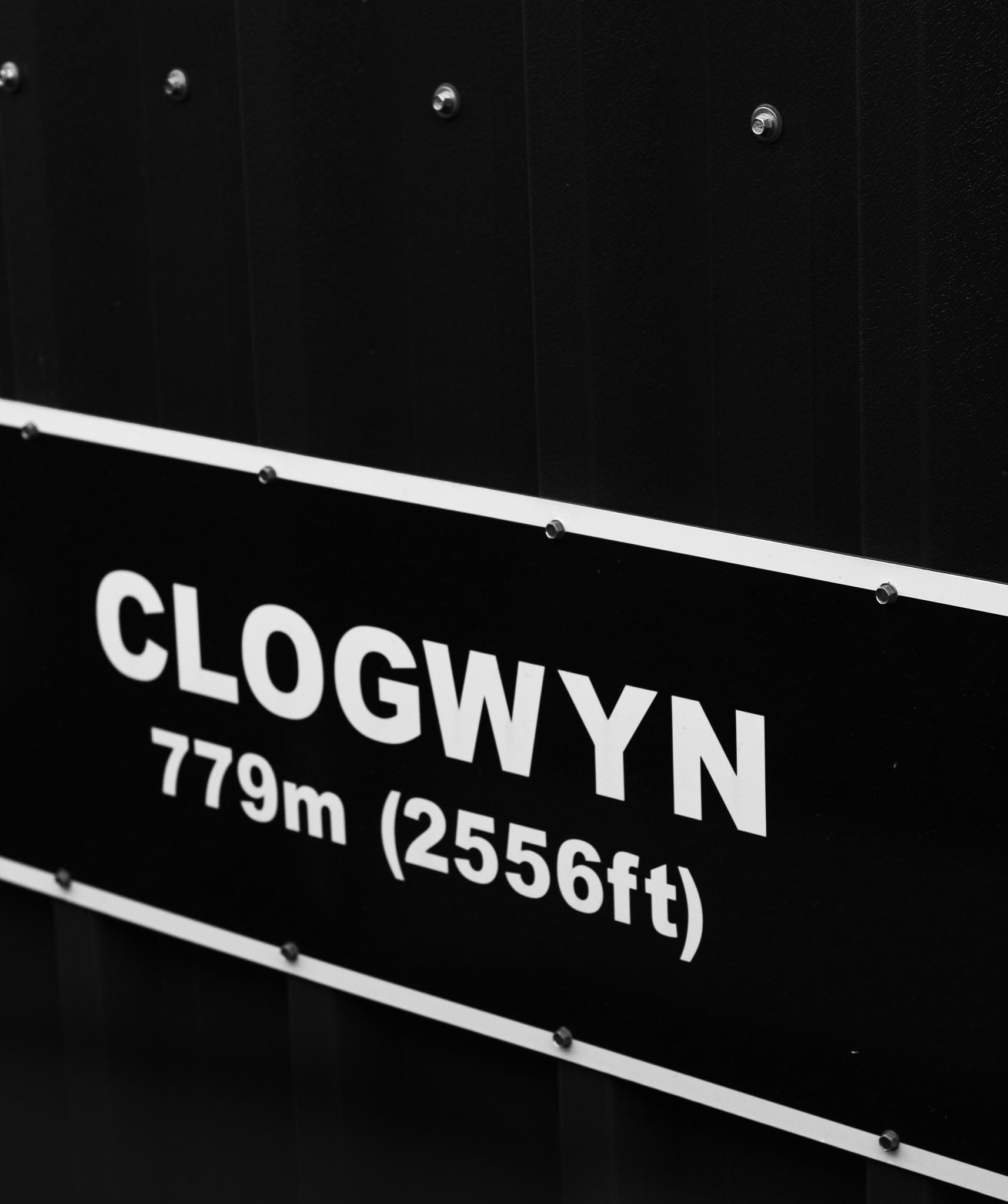
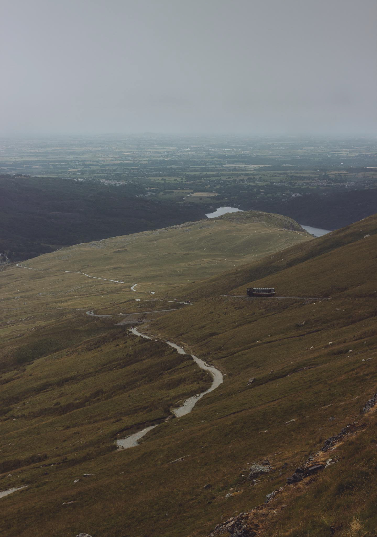
Clogwyn Station
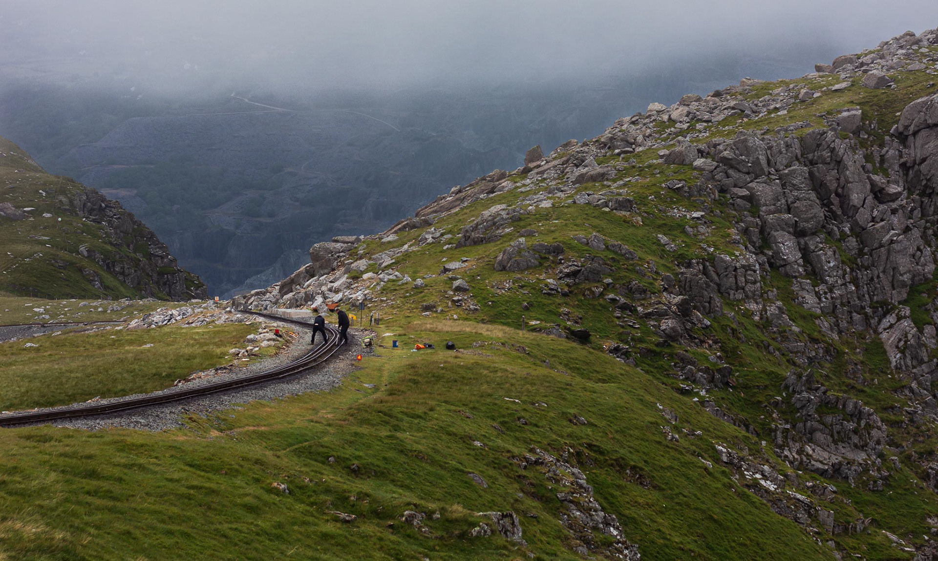
Clogwyn